Week Nine: Project Map
 https://mapsengine.google.com/map/edit?authuser=0&hl=en&mid=zYv61qH1CLtU.ktQf0Bjbx7Ms
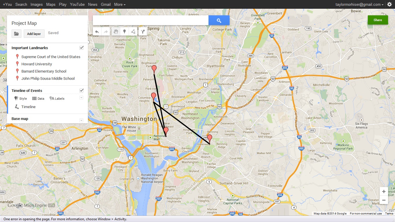
Making this map was simple. Google maps is an easy to use program. I started by choosing important places that were prevalent in the moments before and after this court case. I began with the actual school that began the case for integration. I then linked this to Howard University where the lawyer who argued for integration taught. Next I connected the Supreme Court where the case was actually fought. Finally I connected Barnard Elementary School, one of the many schools in the Washington DC area to integrate following the court case Bolling vs. Sharpe. I connected these events by the order in which they occurred.
I struggled at first with how to create layers, but this issue was easily resolved. Google maps offers online helps tools that explain step by step of how to complete any task you could ever want. I think this is an useful tool for any assignment that includes different locations, especially when discussing historical events. After making this map I realized how interconnected the events were in both time and space. After making a visual timeline I could really see how each event led to another.